


Printify
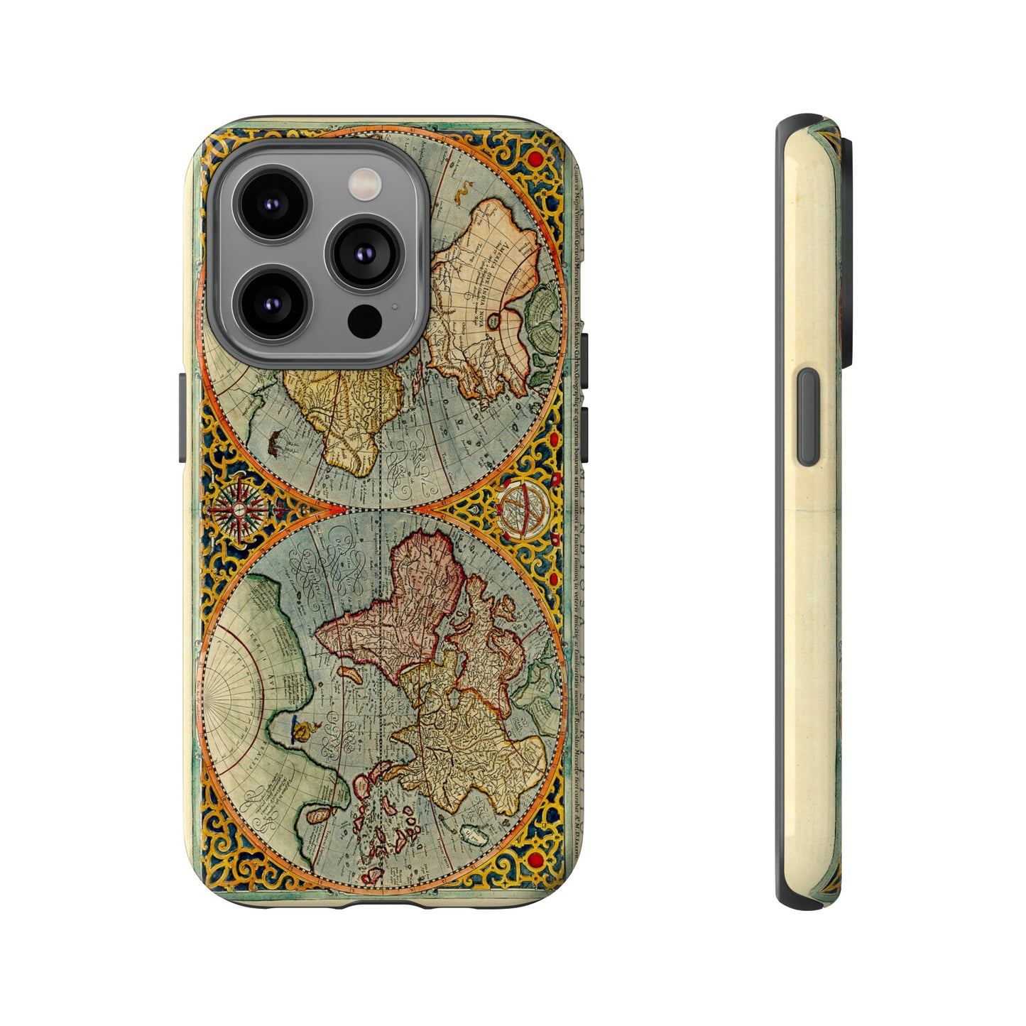
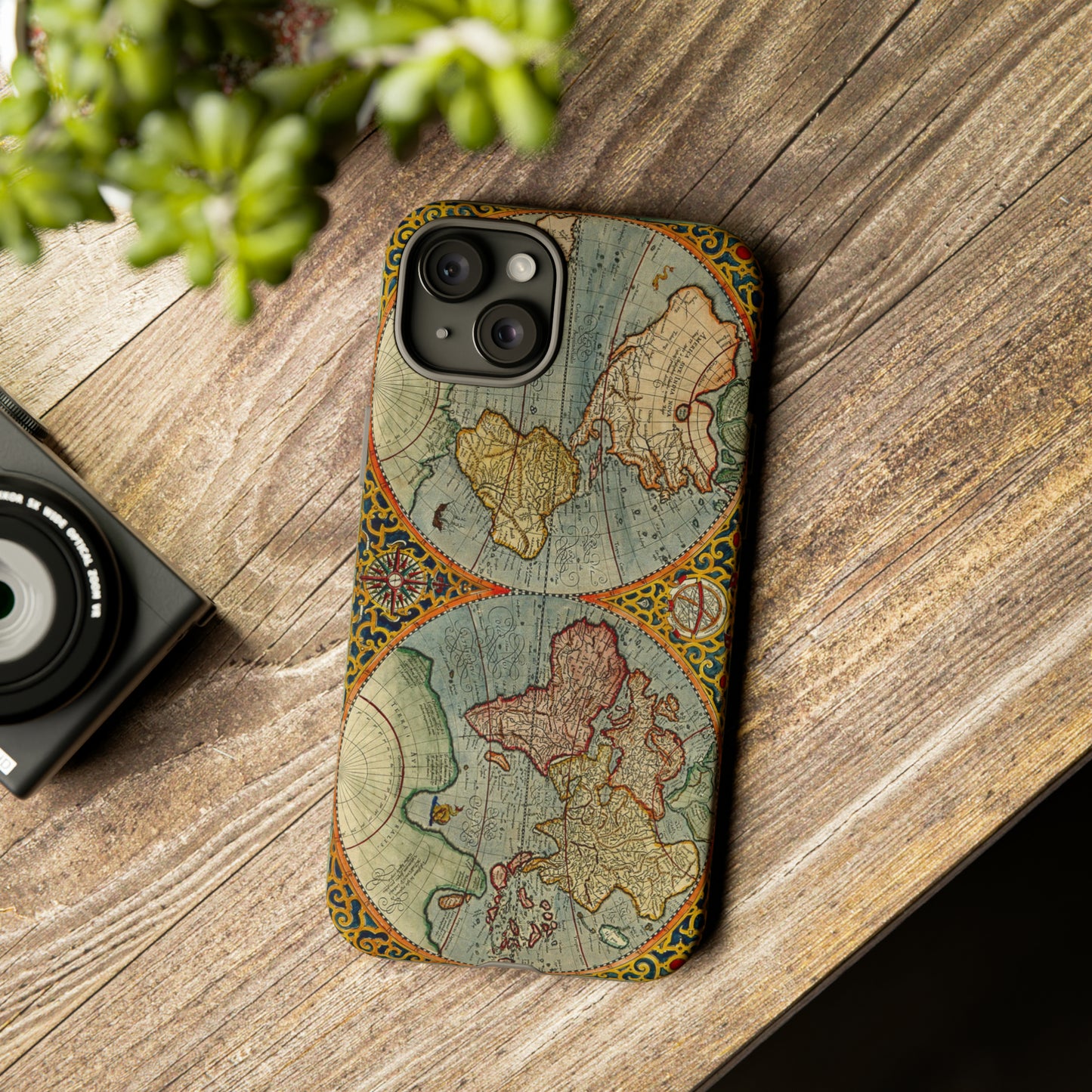
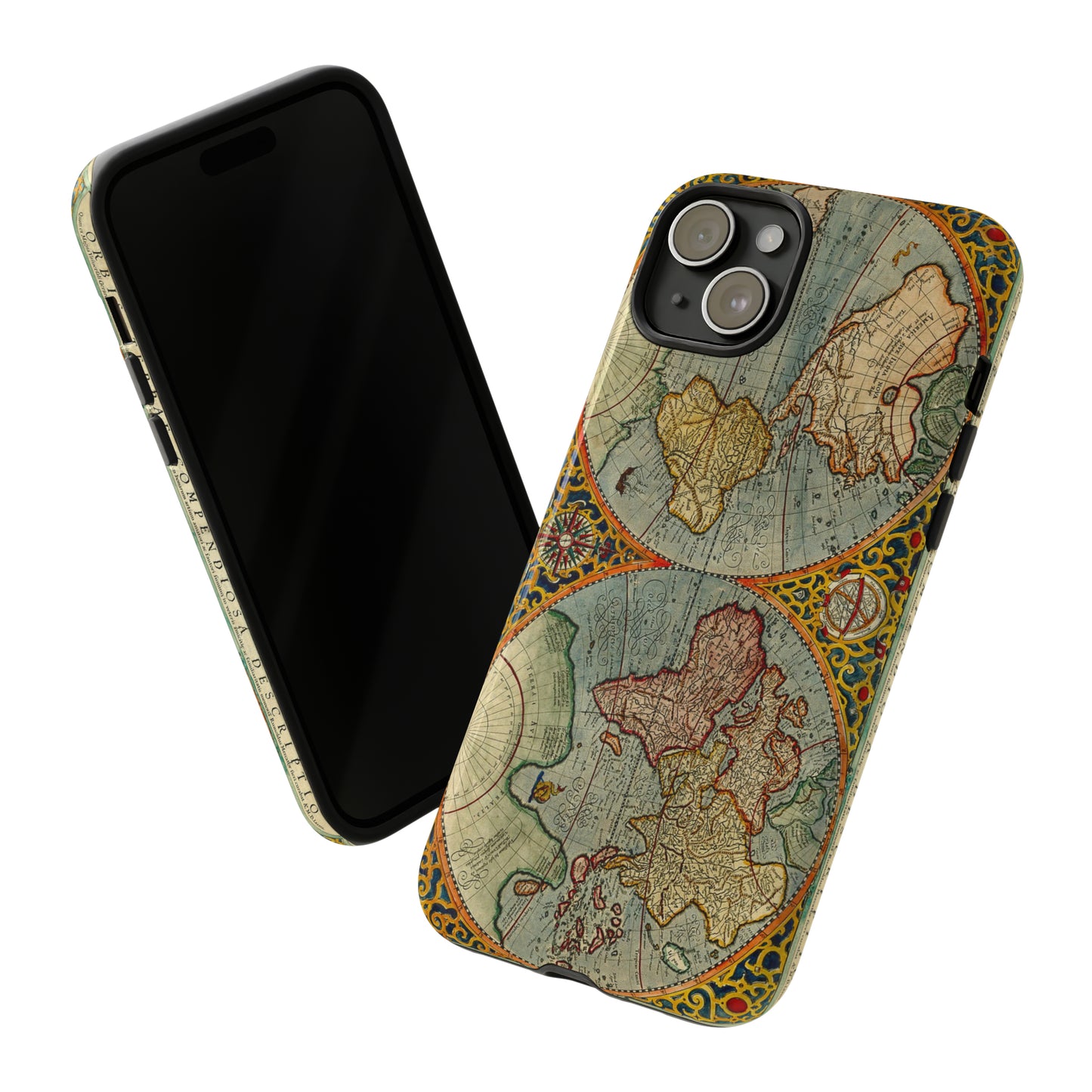
The World: Mercator and Hondius, 1619
The World: Mercator and Hondius, 1619
Couldn't load pickup availability
ORBIS TERRAE COMPENDIOSA DESCRIPTIO quam ex Magna Universali Gerardi Mercatoris Domino Richardo Gartho..., dated 1587. An elaborate strapwork border surrounds this beautiful double-hemisphere map, and an armillary sphere and 32-point compass rose are tucked between the hemispheres. Rumold Mercator based this map on his father's great world map of 1569. The North Pole is depicted as a landmass surrounding a sea from which four rivers radiate and there is a well depicted Northwest Passage. The huge Terra Australis is shown as a part of Tierra del Fuego, and the lands of Lucach, Maletur and Beach (from the travel account of Marco Polo) are noted along the coast in the vicinity of present day Australia with a large island labeled Iava Minor located in the same region. Japan is shown in a kite-shaped configuration, with the fictitious Satyrorum insule (Satyr's Island) shown above. South America has a bulge on its southwest coast, and New Guinea is depicted in a large, circular configuration. The map embodies many ancient authorities and is a wonderful view of classical cartography. References: Shirley #157; Suarez (Veil) #31, plt. XI
About the Cases:
We source the blank cases from several providers, but all offer durability and shock protection from daily drops. You will find they are excellent for protecting your valuable investment. Our entire extended family and group of friends has been testing these for months, and we did not bring any product to market until we were satisfied with its quality. We hope you will give them a try!
-
Shipping
We offer a number of shipping methods to fit your shipping needs.
-
Returns
14 day hassle free return policy

Check back!
We are constantly coming up with new and fun designs that are sure to please your artistic soul